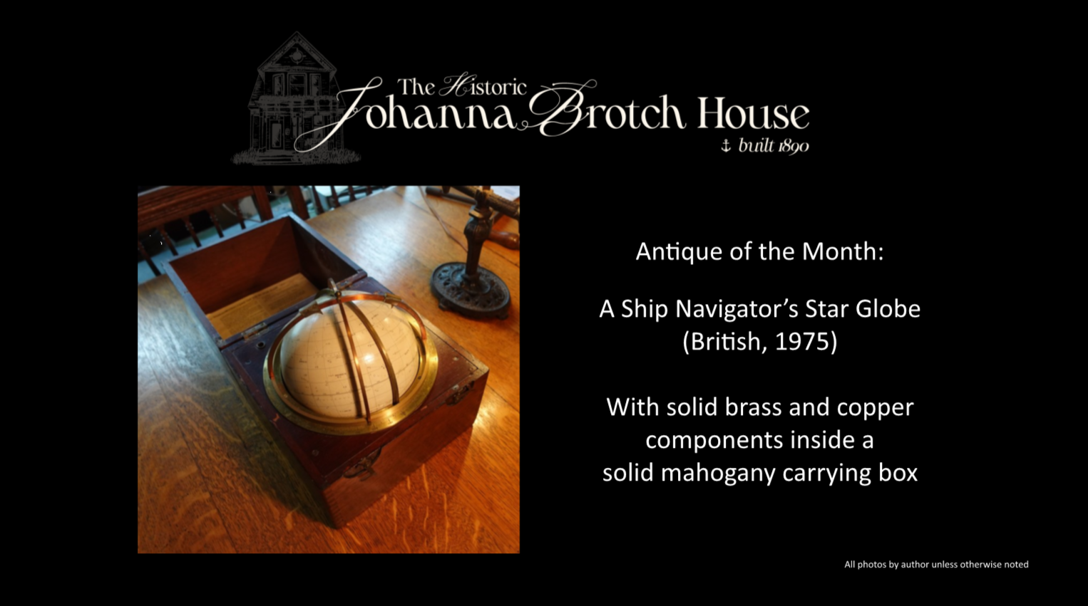
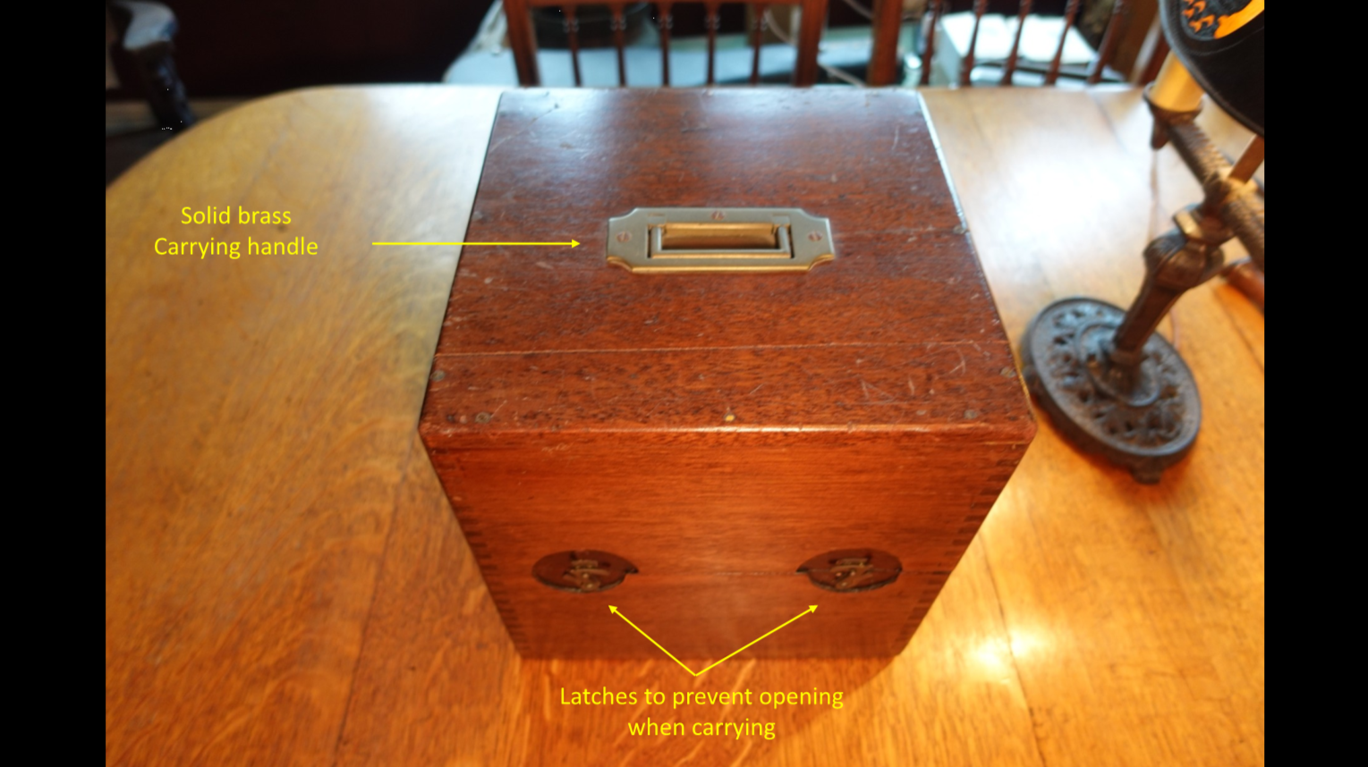
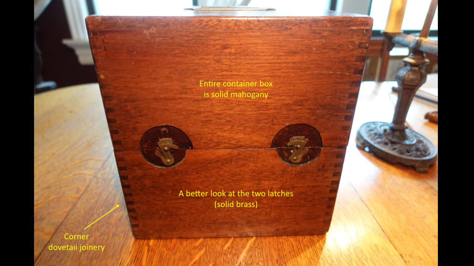
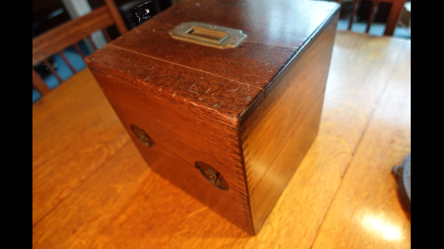
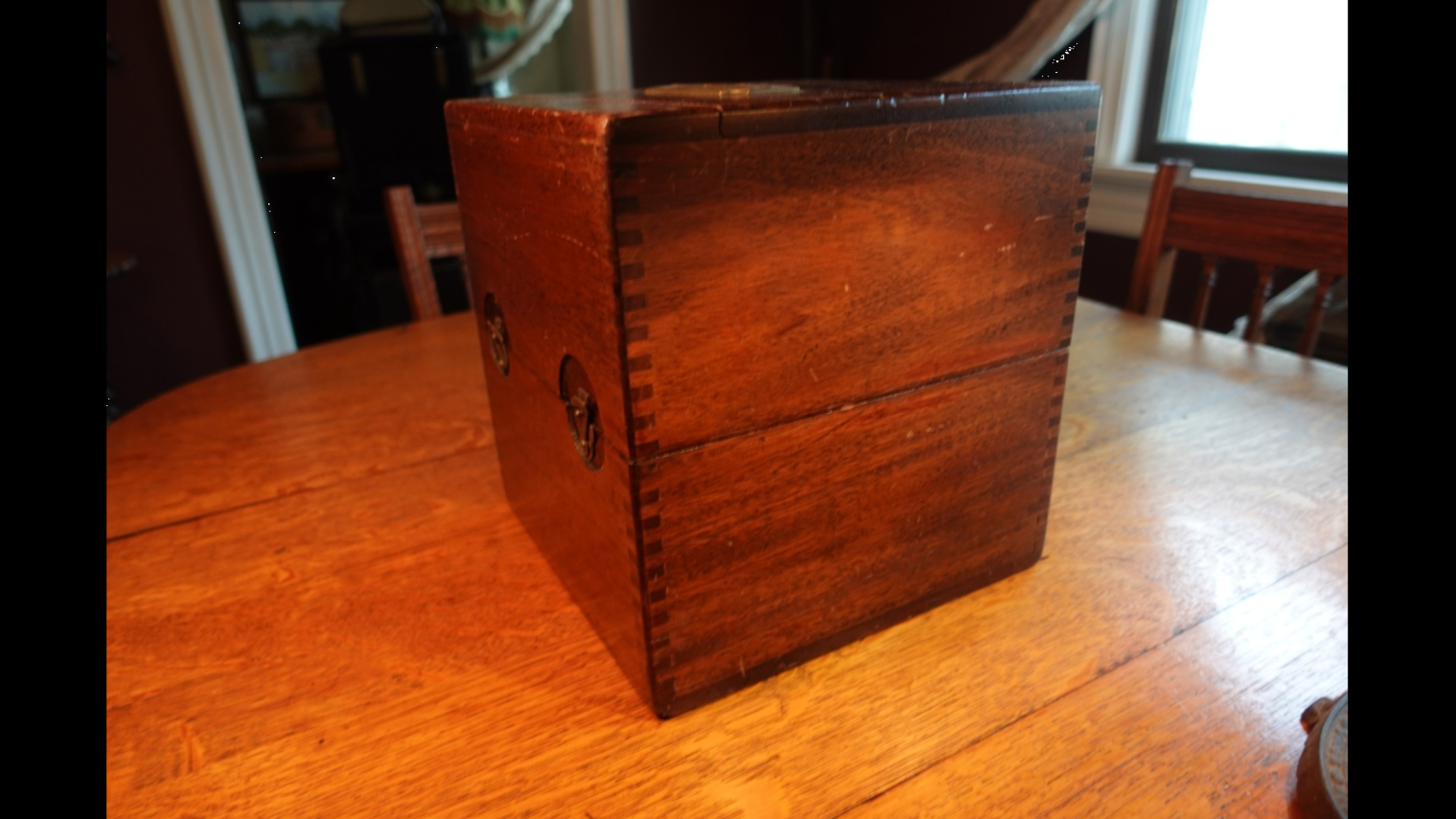
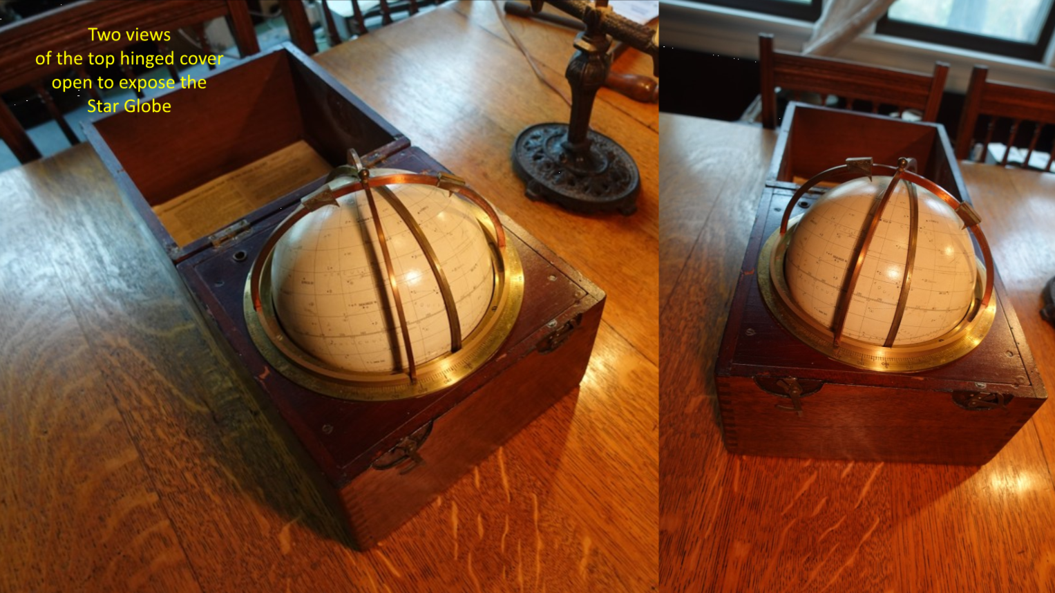
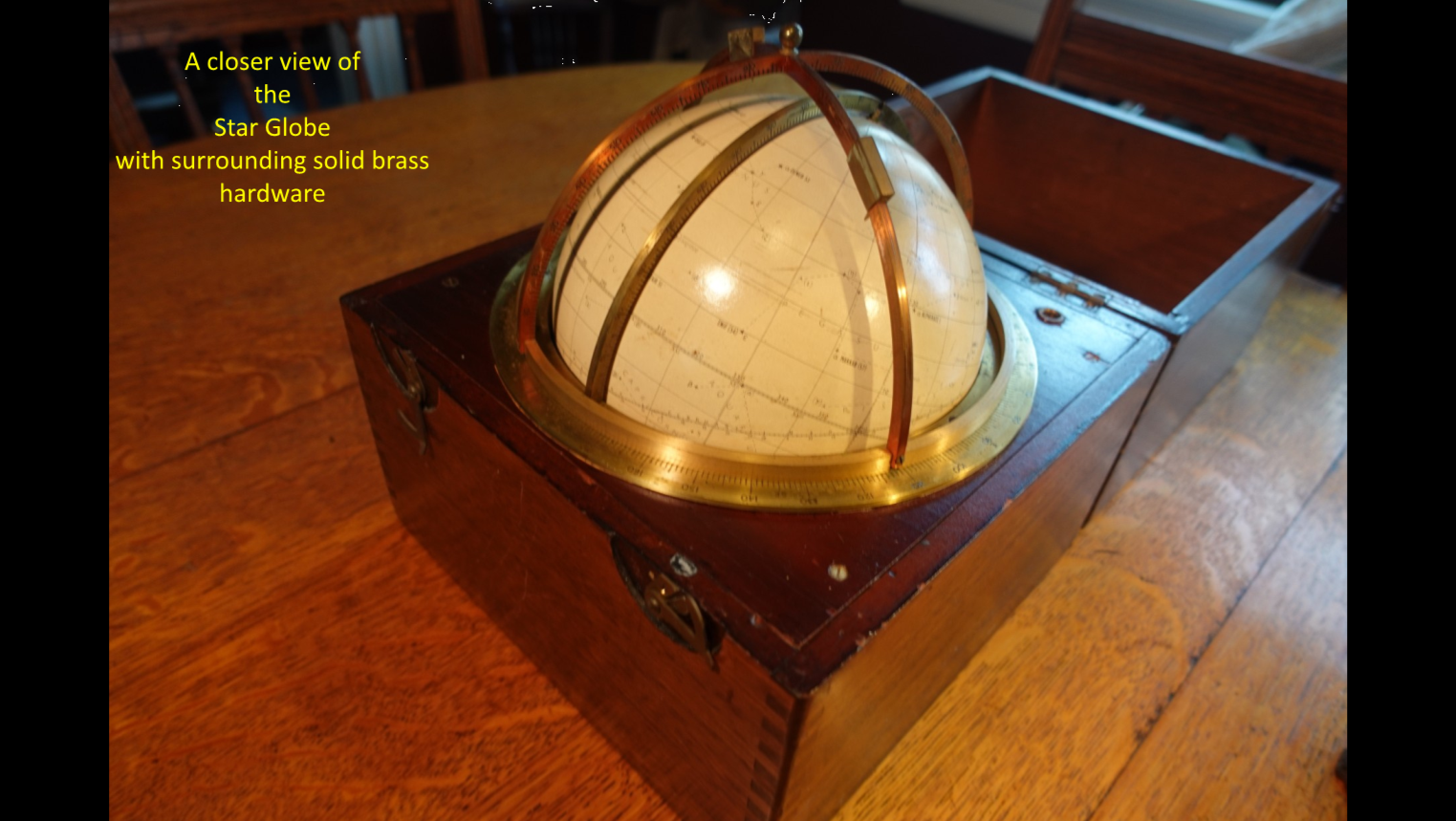
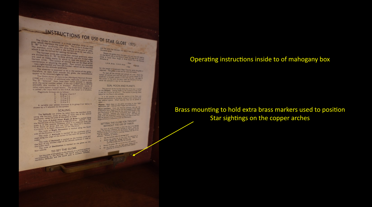
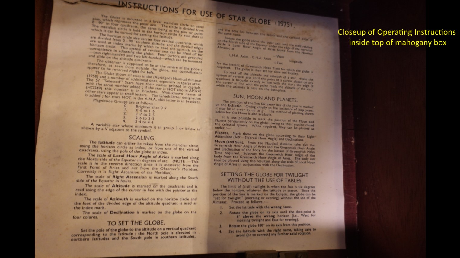
This month’s Antique of the Month from the Historic Johanna Brotch House is one of the finest examples of a Ship Navigator’s Star Globe found anywhere in the world. It was one of my first acquisitions. It looks much older, but its date, 1975, shows how far navigating at sea has advanced in the last fifty years. This is the same year I embarked on my 34-year US Navy adventure. Wow! Have times changed!
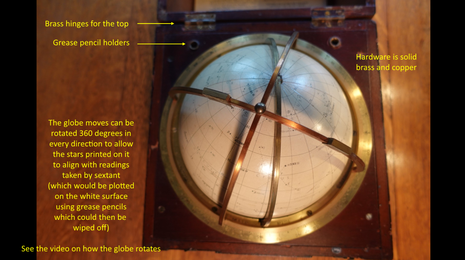
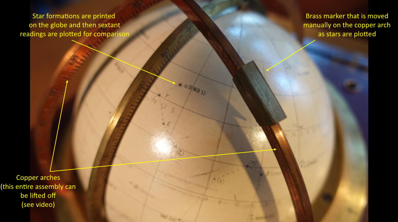
The simplest way to describe its use aboard ship was to plot star sightings from a sextant onto the face of the Star Globe to provide another way to view the ship’s position. Stars and star formations are plotted onto the face of the globe itself and then as sextant readings are taken manually, these are then plotted and marked in grease pencil using the help of brass markers that can be positioned along the copper and brass arches depicting latitude and longitude. It was a complete manual process, since in 1975 computers were still in extreme infancy.
Today, position on the open sea can be instantly viewed using Global Positioning System (GPS) plotted continuously via software on glass computer screens. It’s instantaneous and involves no sextants, charts, nor star globes. So, this antique Star Globe really is representative of how laborious the process used to be. I’m honored to say I the early days of my career at sea I saw ship navigators and quartermasters plotting positions with sextants, though even by then long-range radio waves (like LORAN) could be triangulated for a good estimate of position. Sextants were used when this triangulation wasn’t good (the radio waves were too far apart to get a good fix) and backup was needed.
This particular Star Globe is British, and I have no idea as to its history. I’ve seen a few here and there over the years, but none were or are as complete as this one. It also represents the end of an era where nautical instruments were constructed like pieces of furniture…a time now gone. It’s a real piece of maritime history.
I hope you enjoy the enclosed photos & video!